MPW Marine Monitoring
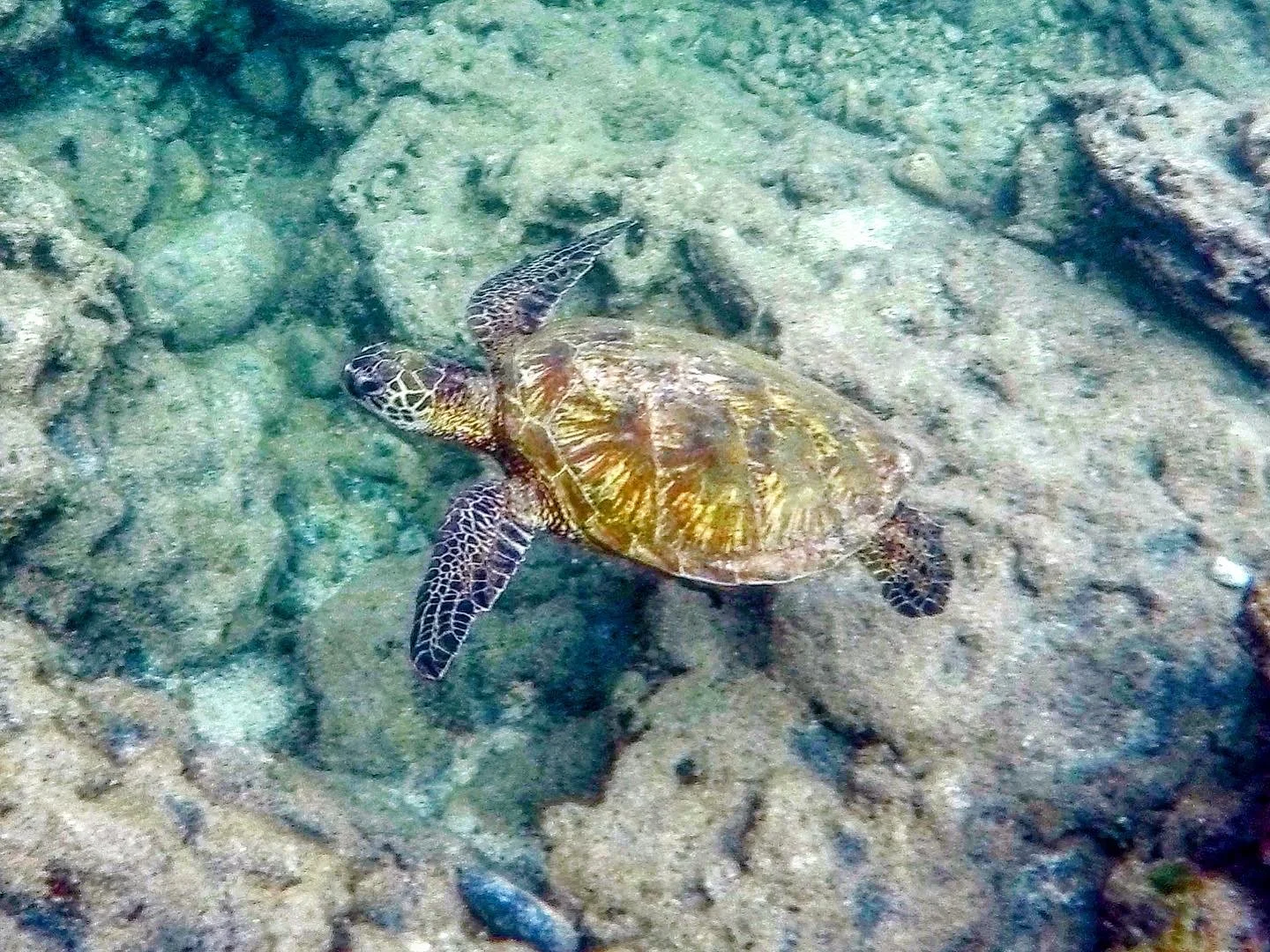
To know if our reefs are healthy, MPW tracks how different parts of the ecosystem are doing over time. We break our underwater ecosystem down into key parts: counting the fish, checking on the health of the corals, keeping an eye on the limu (seaweed) and other reef dwellers. By tracking these same groups over time, we can spot important trends.
Why we monitor:
Protecting a reef without monitoring is like trying to figure out if you have grown taller without ever marking your height on the wall. You need that first mark, a baseline, to understand changes over time.
Our monitoring work helps us protect the reef in a few key ways:
Establishing the Starting Point: We document what the reef looks like today so we have a reliable baseline for comparison in the future.
Measuring Our Progress: When we take action on land, like our Native Hawaiian Plant Coastal Restoration Project, we can see if the ocean benefits. Monitoring tells us if our conservation efforts are actually working.
Tracking the Human Connection: Our community and our reefs are deeply connected. By looking at how both people and our resources use these spaces, we can understand the human impact on our coastal waters.
Our consistent data gives us a clear picture of reef health. It also helps us make informed rules to protect the ocean, both inside the Pūpūkea Marine Life Conservation District (MLCD) and far beyond its borders. Because when marine life thrives inside a protected area, it eventually spreads to surrounding waters, a natural process known as spillover. And, because fishing is restricted here, our data serves as a vital reference point. Partnering with the Hawai‘i Monitoring and Reporting Collaborative (HIMARC), we can compare the MLCD to fished areas nearby, providing the context we need to understand broader marine patterns across the North Shore.
Our Methods
MPW uses two distinct survey styles to gather this vital information.
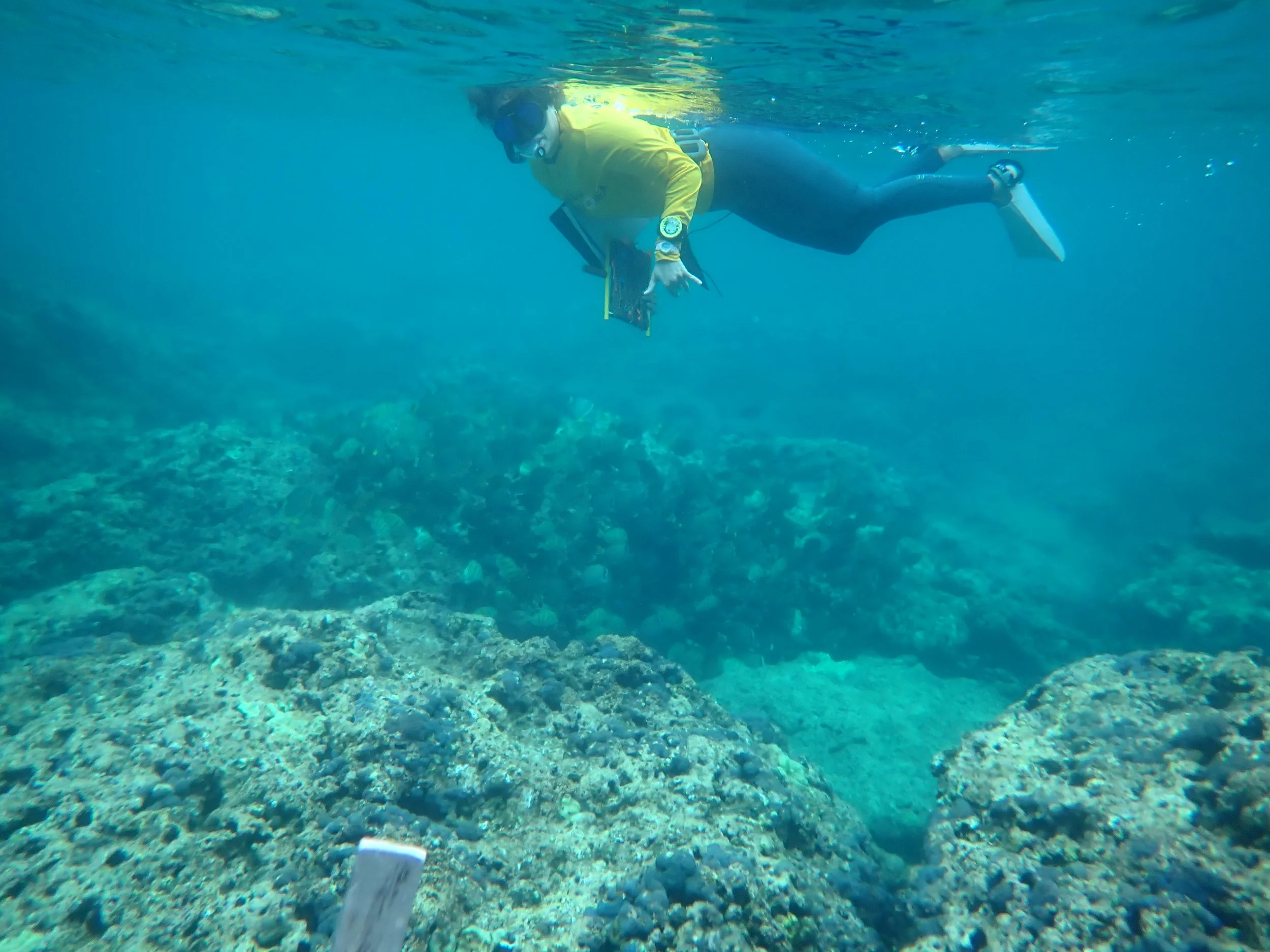
Both of these study designs hinge on us counting fish, corals, and mobile invertebrates by a method called underwater visual census (UVC). This common methodology is used by other conservation non-profits as well as management agencies across the State of Hawai‘i.
Up Close at Kapo‘o and Kalua o Maua:
These are the most heavily visited areas by swimmers and snorkelers. To monitor the human impact here, and provide a baseline for future management actions, we run intensive, repeated surveys along fixed underwater lines (called transects) during the calm summer months when it is safe to do so.
The Wider Picture:
With the support of marine scientist Dr. Alan Friedlander, we are continuing an invaluable dataset that began in 2004. This study spans the entire Pūpūkea MLCD and the unprotected waters outside of it. It allows us to capture a wide snapshot of the area and measure how the benefits of protection spill over into surrounding fishing zones over time.
How do we do this?
-
![]()
Fish Surveys
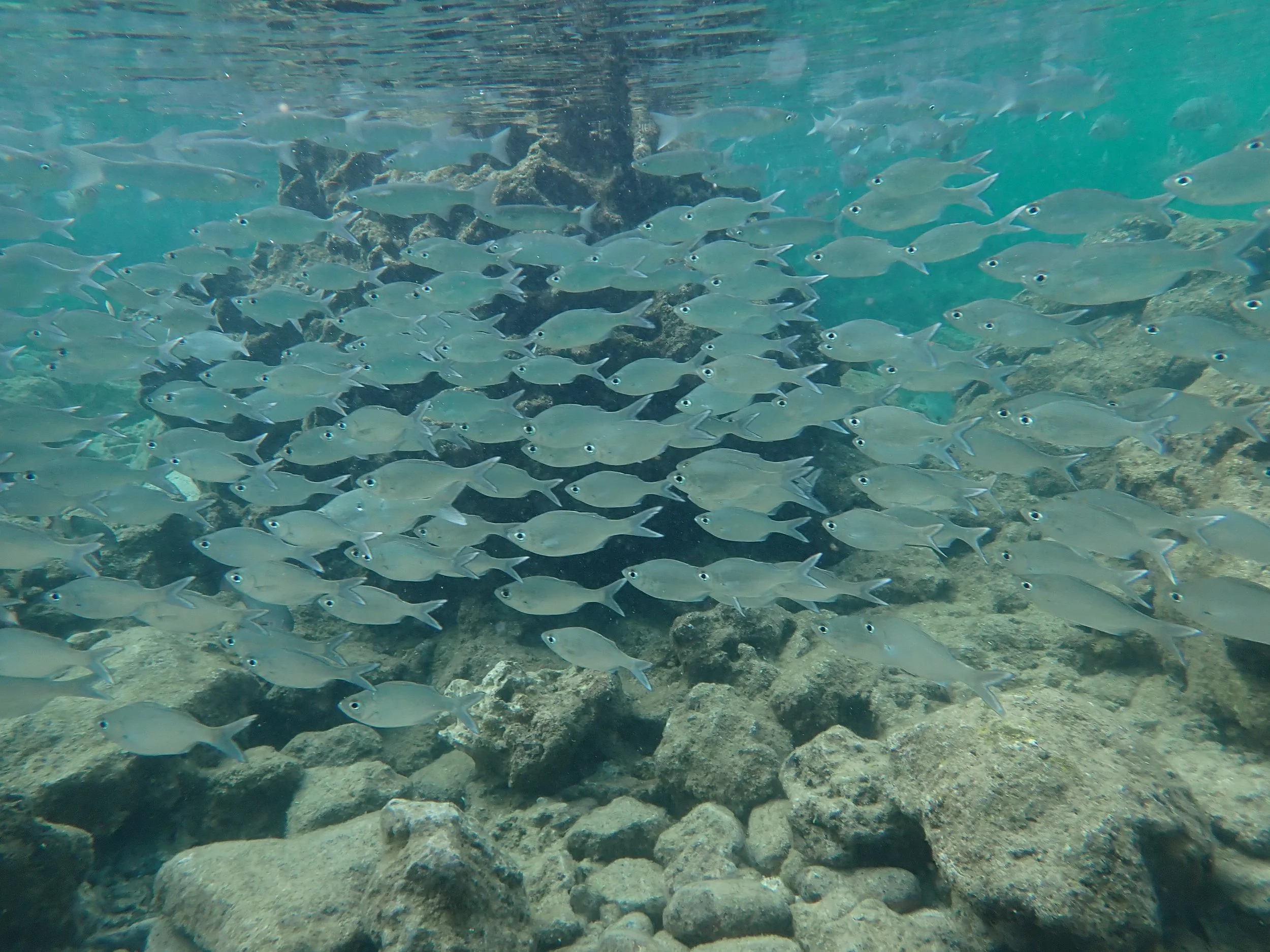
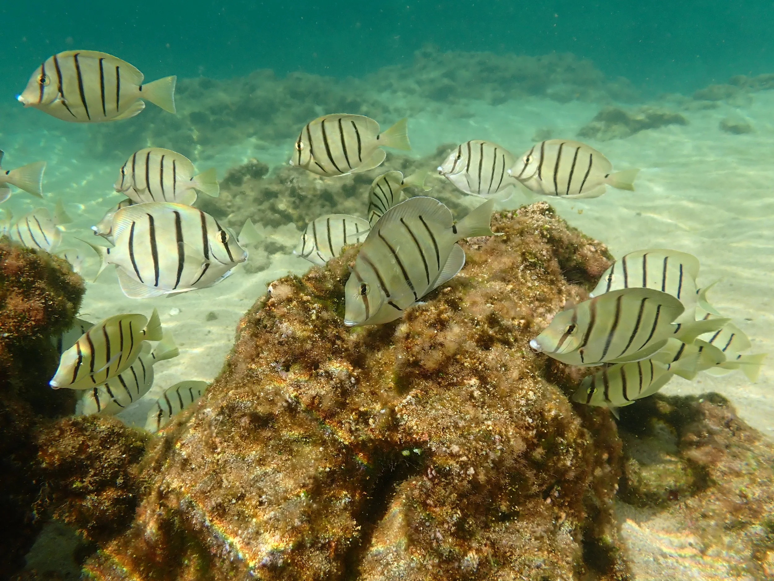
We survey for the diversity of different types of fish species, the abundance of each variety, and how big they are in the MLCD.
-
![]()
Benthic Surveys
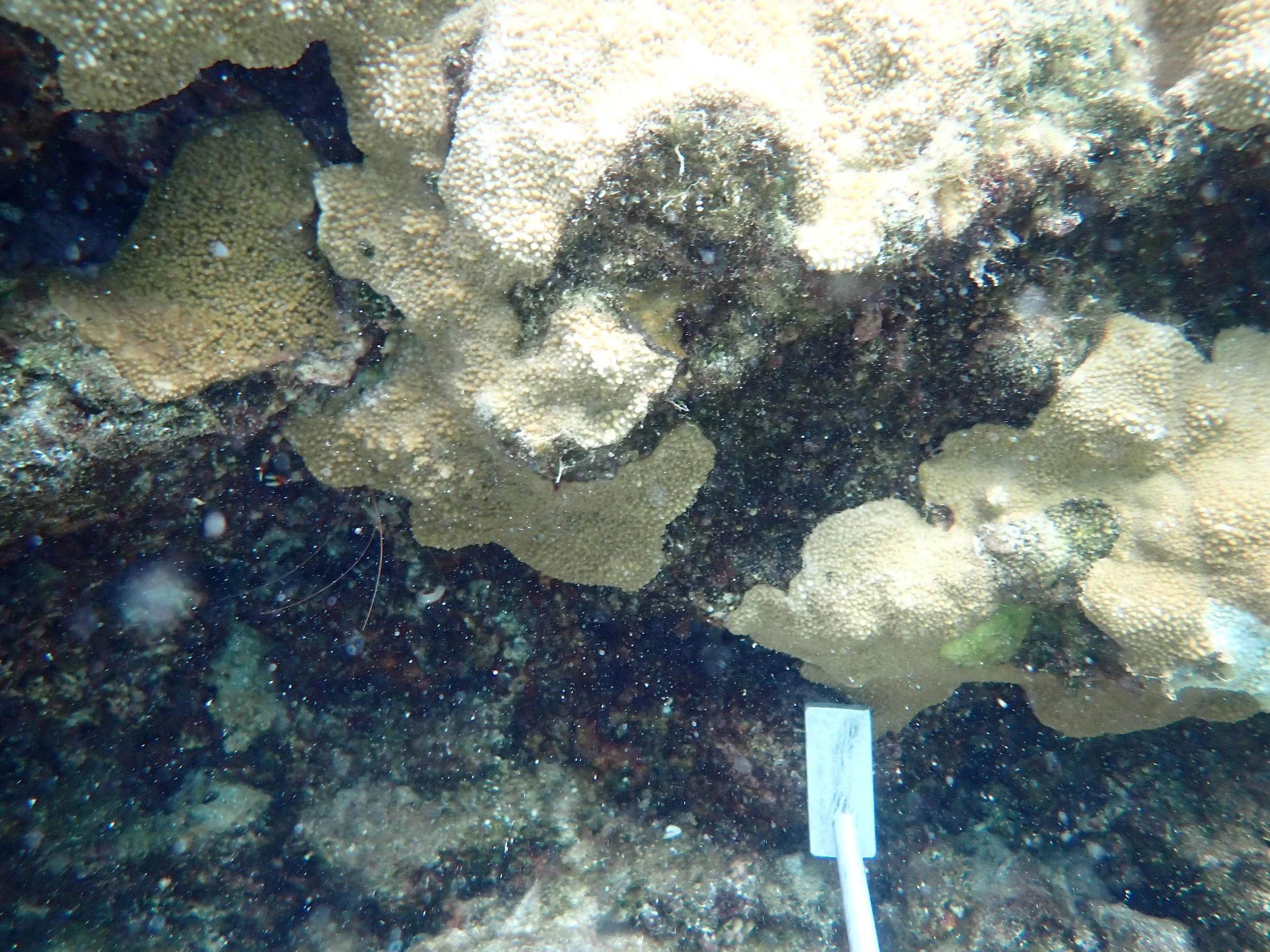
We survey all of the life on the bottom of the ocean like sea cucumbers and wana. We count along transects, and also take specific photos every year to track changes over time. Partnering with the Scripps Institute of Oceanography and Marine Biologist Bertram Weeks III, we can make 3-dimensional renderings of our reefs each year through a process called photomosaics. These two lenses help us understand whether our corals are growing and how large ocean swells reshape the habitats year after year.
-
![]()
Temperature Logging
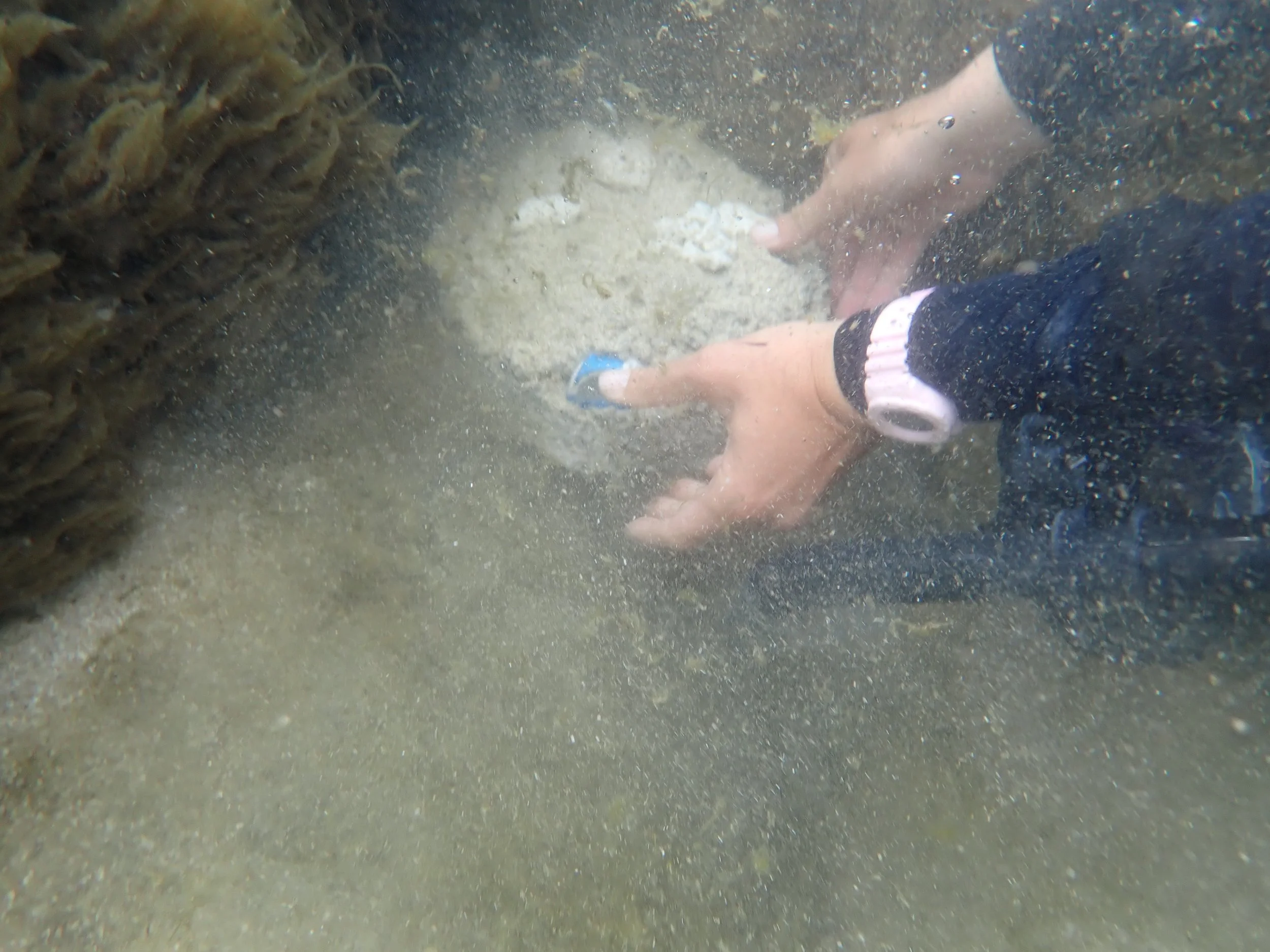
Corals can be sensitive to even small temperature shifts. When the water gets too warm, corals may bleach, which can cause them to starve. By tracking water temperatures alongside our fish and coral counts, we can see exactly how warming waters impact our local ecosystem and find ways to help our reefs stay resilient.
-
![]()
Coral Health Surveys
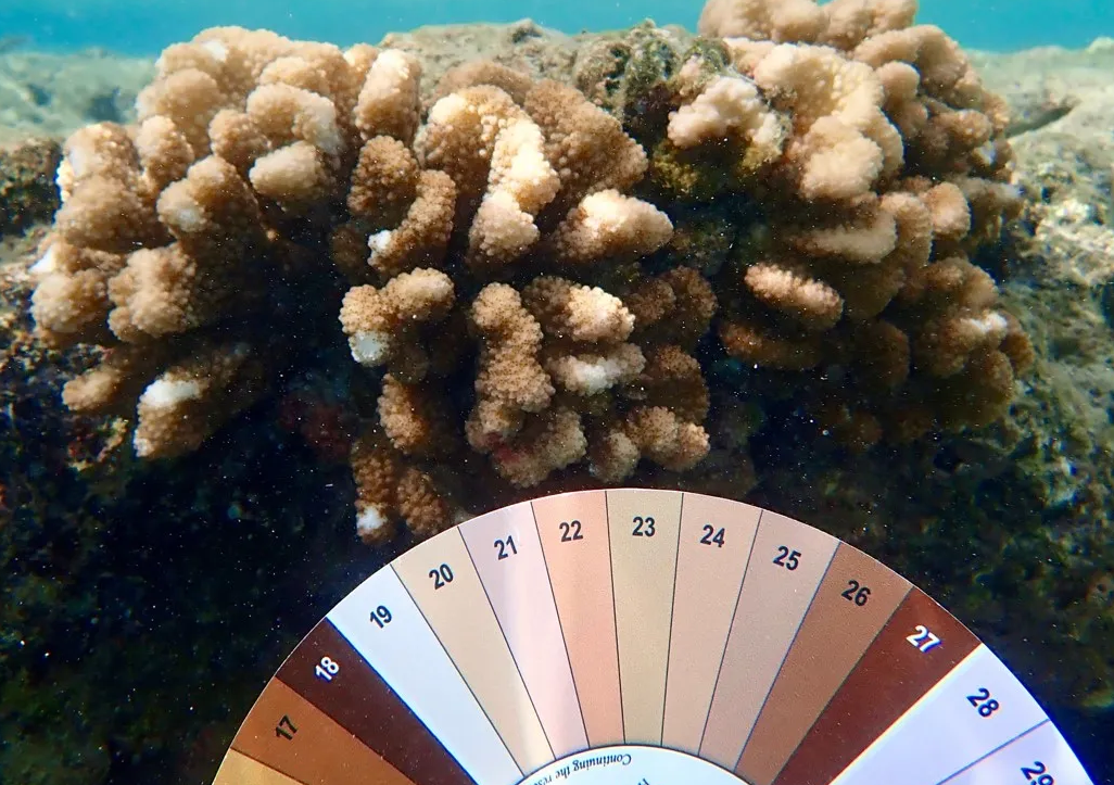
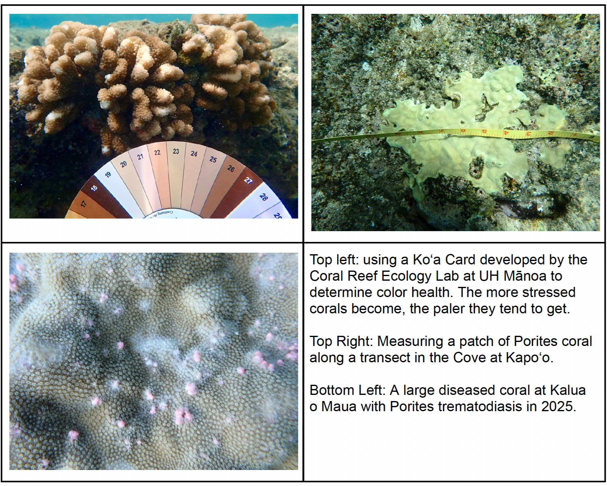
We track how healthy or unhealthy our corals are over time, if they are stressed, broken, or diseased.
-
![]()
Human Impact
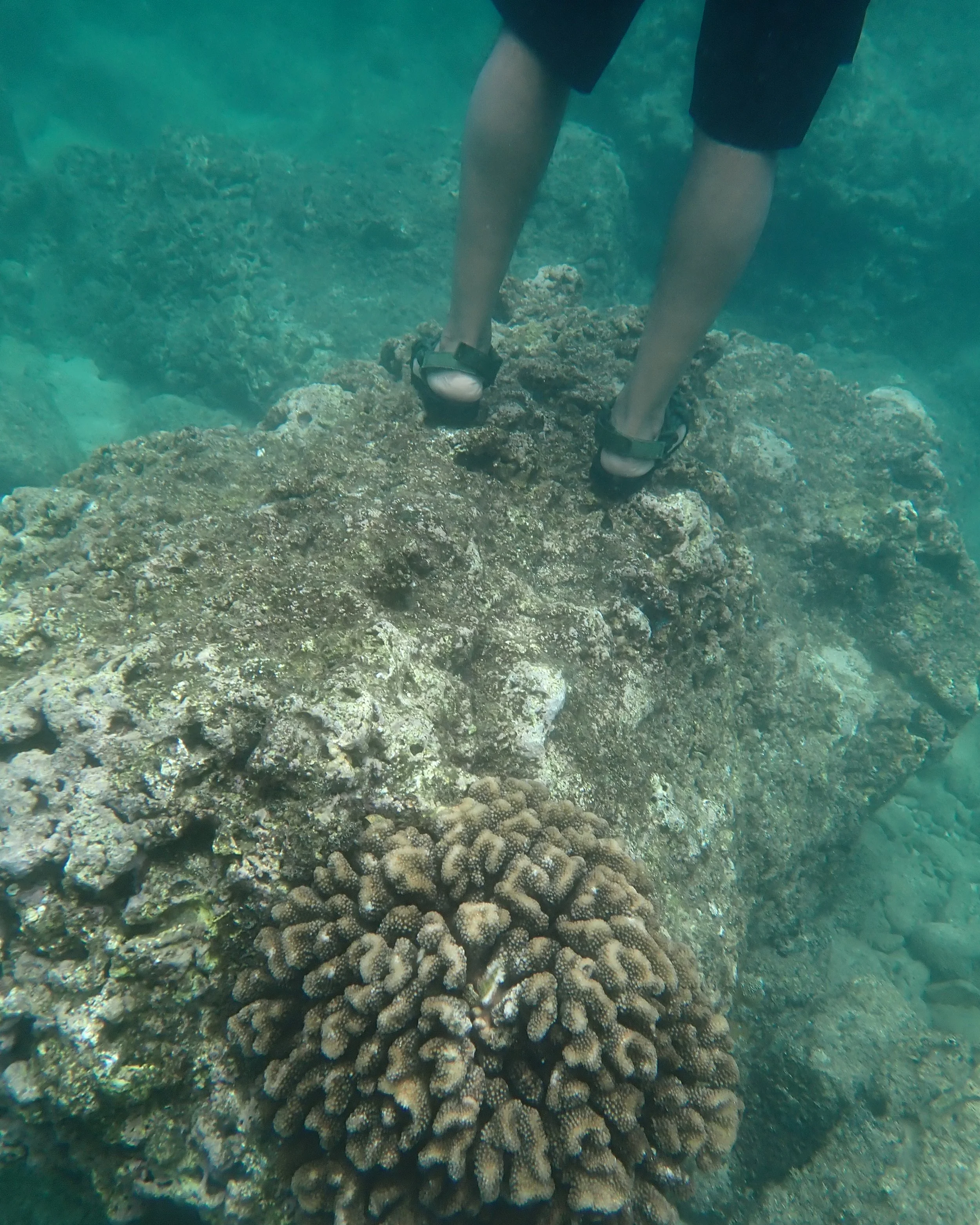
How do visitors impact our MLCD? As an extension of our Act 31 project, we look at how the number of nearby visitors impacts fish abundance and how higher use areas may look different than less frequently used areas (are people stepping on corals or crushing urchins?)
We also examined how visitors tend to interact with the MLCD. We tracked how often snorkelers and SCUBA divers touched different things in the water such as corals or algae or rock, and if their footwear impacted the frequency of contacts.
-
![]()
Call to action
Keeping these reefs healthy requires teamwork. By supporting Mālama Pūpūkea-Waimea, you help provide the snorkels, clipboards, and scientific tools our team needs to keep our boots on the ground and fins in the water tracking our marine resources.
Whether you are a student looking to volunteer, a parent wanting to teach your children about ocean stewardship, or a supporter ready to make a donation, your help ensures these waters remain abundant for generations to come.